

Big weekend for outdoor activities!
Spring breakers can enjoy a nice, partly cloudy day at the beach or park, while golfers and the gallery will need to seek out the shade to cool down.
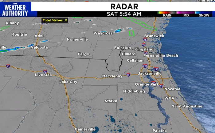
Today: Showers and isolated storms, with a few strong storms possible, will begin to develop around mid-afternoon, tracking from west to east along and north of the FL/GA border. The sea breeze will keep the rain from reaching the coast for most of the day. Activity should begin to dwindle by the evening.
Above average temperatures will be in the mid 80s and dropping into the 60s this evening. Winds out of the west will stay below 10 mph, gusts up to 15 mph. Humidity will
start out sticky, then drop as the clouds build. UV index is high, especially before 3 p.m., be sure to wear your sun protection.
St. Patrick’s Day: the morning starts off with some areas of fog, which will burn off once the sun rises at 7:33 a.m. Afternoon showers and isolated storms could be a factor for our area with the possibility of some severe weather into the evening. Storms will clear out and cooler temperatures will drop in.
Tuesday is the first day of spring and will be our coolest day of the week!
Hazards: UV index=high. Rip current risk=moderate.
Copyright 2024 by WJXT News4JAX – All rights reserved.