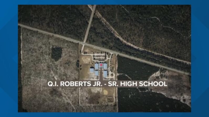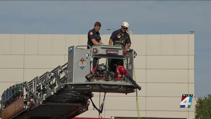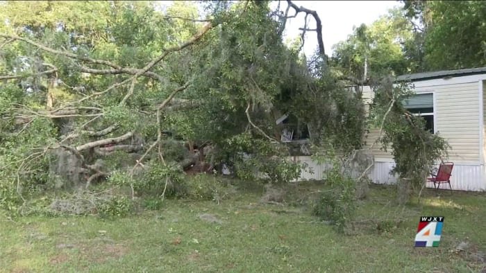


JACKSONVILLE, Fla. – Locally heavy rainfall and the possibility of a severe weather threat with thunderstorms and possible tornadoes have prompted a Weather Authority Alert for Saturday, possibly stretching into Sunday morning.
LIVE RADAR: Tracking showers ahead of heavy weekend rain, strong winds from Gulf low
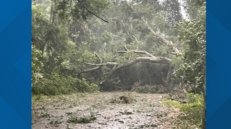
The rain will develop Saturday afternoon and increase in coverage throughout the day. The worst of the storms — thunderstorms and the potential for tornadoes — will be in the dark hours, starting late Saturday night through midday Sunday.
Local areas will see between 2-4 inches of rain with some areas receiving up to 6 inches.
What We Know: Saturday and part of Sunday are going to be wet, very wet at times — hunker down type of rain. Flooding is likely in some urban and slow-draining areas, and we can expect 15-20 mph wind, increasing to 20-30 mph with gusts of 35-45 mph.
What We’re Watching: A slight shift west will result in a higher chance of severe weather for our area, while a shift east will keep the severe weather to our south. Right now, the models are split on what will happen.
The Good News: Based on current models and timing, we can expect less rain for the Jaguars’ “Sunday Night Football” game against the Ravens, which kicks off at 8:20 p.m. at EverBank Stadium.
Copyright 2023 by WJXT News4JAX – All rights reserved.