A trend in the Pacific is taking shape that will gradually pivot from the storminess that has plagued the West Coast this winter along with our wet and cooler-than-normal backyard weather this year.
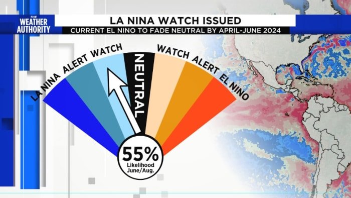
Forecasters are seeing a likely transition from El Niño to neutral conditions by April-June 2024 (79% chance), with increasing odds of La Niña developing in June-August 2024 (55% chance).
El Niño manifests as a wetter-than-average winter for the southern tier of the US as it often points the storm-steering jet stream south.
There is a direct relationship between the presence of a strong El Niño and increased storminess in Florida, due to the extension of the subtropical jet stream across the southern United States.
RELATED | Dial it up to Category 6? As warming stokes storms, some want a bigger hurricane category
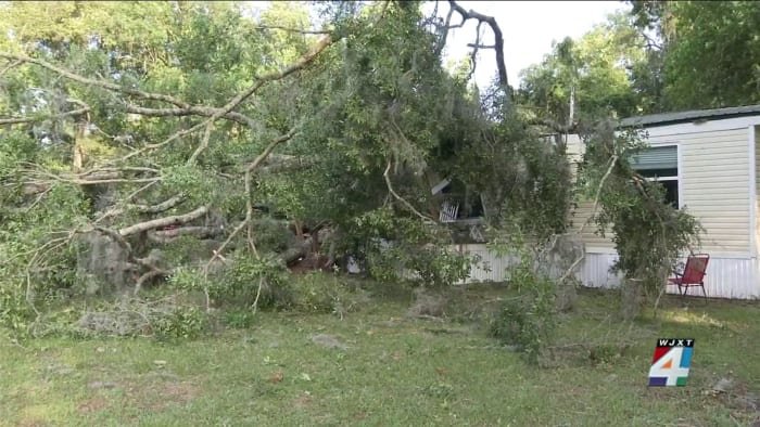
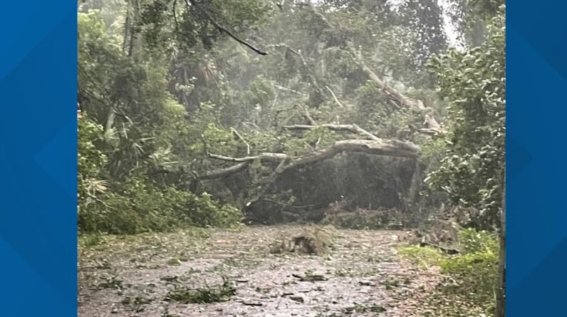
This narrow band of stronger winds several miles above the earth’s surface increases the passage of storm systems across the region. Over the recent weeks, we have seen how the enhanced jet stream has led to increased tornado threats across the first coast with several Gulf storms that have crossed the state.
Past El Niño events, especially strong events, have been highly correlated with well above normal storminess and strong tornadoes (EF2+) across the Florida Peninsula between November and April.
Now, this El Niño pattern is expected to weaken through April and switch to the cold water phase in the Pacific by the start of hurricane season. The switch to La Niña is typically worrisome during hurricane season due to the increase in hurricane activity it brings to the Atlantic basin by decreasing hostile wind shear.
Copyright 2024 by WJXT News4JAX – All rights reserved.


