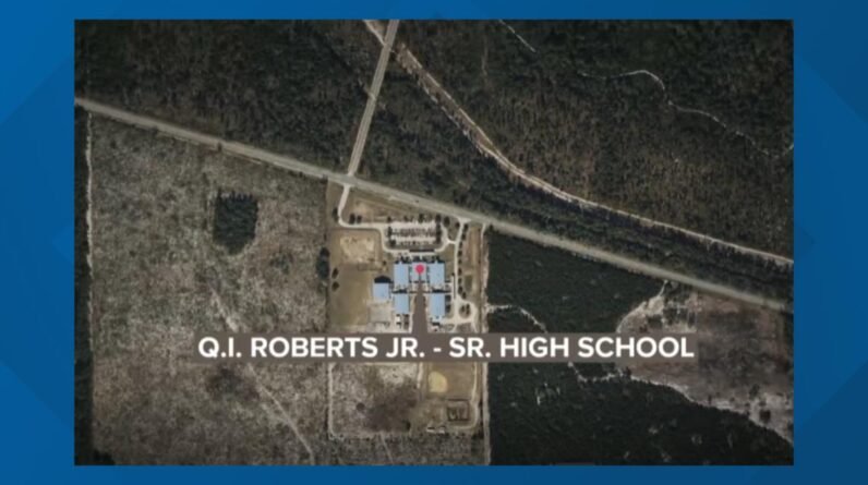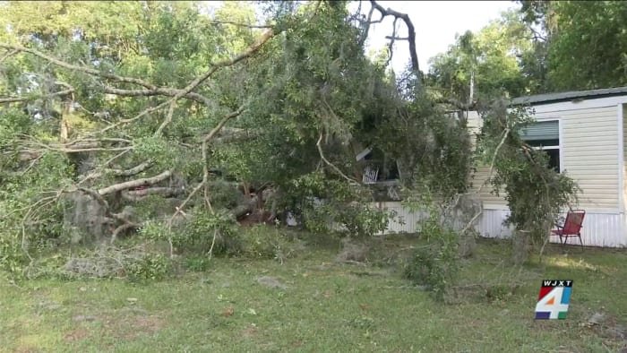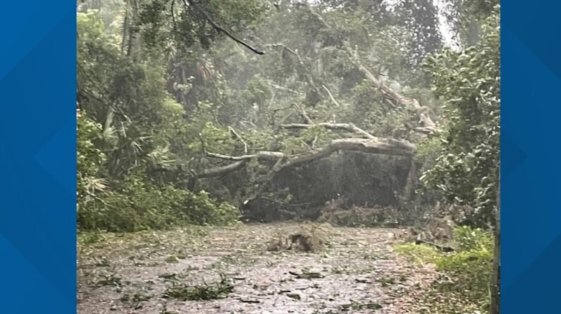

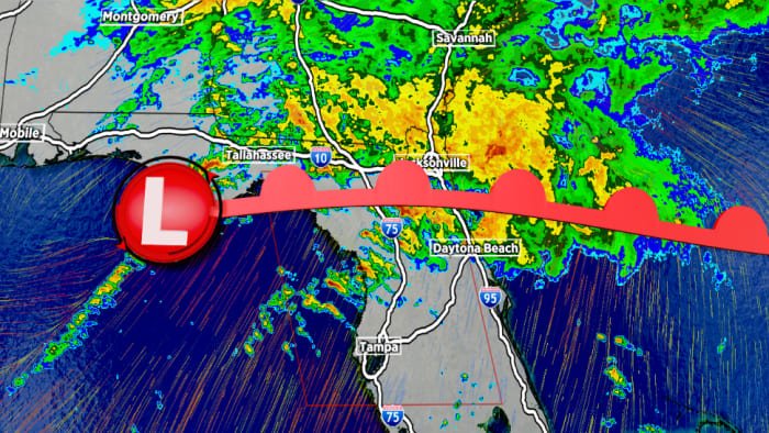
It is a Weather Authority Alert Day due to steady rain all morning. Only a few thunderstorms will be mixed in with rain. The risk for severe weather is decreasing and stays limited to areas south of Starke to Palm Coast. The Tornado Watch is primarily intended for these areas through 9 a.m. and it may expire earlier. Rain breaks up this afternoon but scattered T-storms are likely until the evening when just patchy sprinkles and light showers remain.
Friday rain chances drop to 40% with most showers from Duval and areas northward into Georgia. The day will be mostly cloudy.
Dry air moves in on Saturday and although a small rain chance is possible in the morning the day will be dry and cloudy. Some sun returns in the afternoon for the partial annular solar eclipse.
The best weather is saved for Sunday. Cooler 70s arrive behind a cold front with dry and sunny skies and breezy NW winds. Temps in the mid to upper 70s fall into the 50s